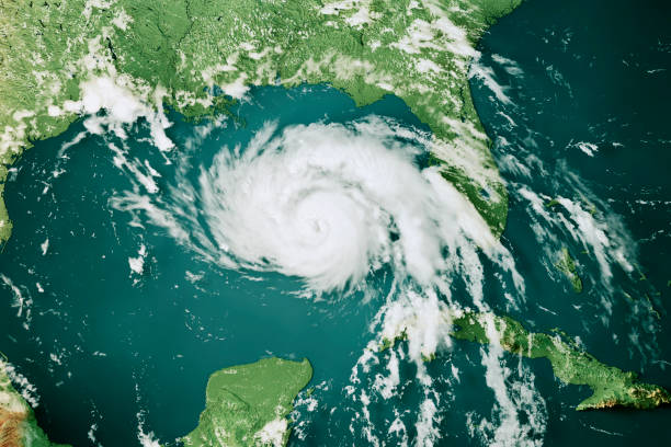
It is predicted that people from the Midwest to the mid-Atlantic will experience thunderstorms as well as the possibility of tornadoes as forecasts have predicted severe weather conditions.

Severe weather conditions will be felt. (Photo: iStock)
Severe weather conditions will be felt by people on Tuesday as thunderstorms continue to prowl the areas of Central and Eastern US.
As the days get shorter and the sun’s intensity drops, August often sees a decline in the frequency and severity of severe weather events. However, severe weather conditions like that of June or July will continue in mid-August because of an unusually strong and southward displaced jet stream that is laden with powerful disturbances.
On Saturday night, as a cool front passes over the area, severe weather conditions will return to the Northeast and Ohio Valley.
READ ALSO: Maui Wildfire Prompts Hawaii Officials Into Investigation As Death Toll Continues To Rise
Forecasters have predicted areas where severe weather conditions are likely to be hit.
Almost a dozen states will be at risk for severe weather conditions on Saturday afternoon and evening hours with potentially destructive and dangerous thunderstorms from eastern Kansas to Missouri and southern Illinois. More than 40 million people from Tennessee to Illinois to Pennsylvania and New York will be at risk due to Monday’s severe weather conditions.
The possibility of small stream glass floods may increase in the Ohio valley if the storms set up like trains, that will lead to repeating downpours. If the front will push through Monday night or early Tuesday then the severe weather may be limited or non-existent in the region. However, if the front is slower, severe weather may unravel along heavily-populated areas of the east coast on Tuesday afternoon and night.
READ ALSO: FTX Founder Sam Bankman-Fried Sent To Jail After Influencing Witnesses


